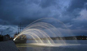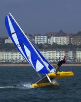
On what was probably the last sail of the season, in a Force 5, gusting 7, we managed a top speed of 16.4 knots in a short sail that covered 12.4 miles. An image of the route can be seen in this Google Earth image, or download the trip data into Google Earth as a KMZ file here. Martin and I had another cracking time surfing down the waves, and even sailed through the new Bideford Quay Fountain to wash the sails.
An alternative view of the tracklog can be seen here - this gives a log of the track against time, with faster speeds in red and slower speeds in blue.
